

Ecology AKIpress – There are 3 largest lakes in Kyrgyzstan. Such data is provided in the 2025 civil budget prepared by the Ministry of Finance.
Lakes and parameters:
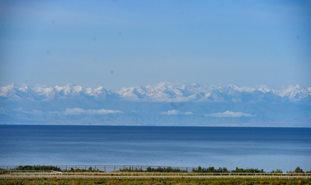
Issyk-Kul – the area of the water surface is 6236 km² (maximum depth 668 m), the volume of water is 1738 km³. The length of Issyk-Kul from west to east is 182 km, from south to north – 58 km;
Son-Kul – area 278 km², height – 3013 m, water volume 2.4 km³, length 28 km, width 18 km. Average depth 8.6 m, maximum about 14 m;
Chatyr-Kul – surface area 175 km², maximum depth – 16.5 m, and water volume – 610 million m³;
Sary Chelek – the area is 4.92 km², the lake is located at an altitude of 1873 m and stretches for 7.5 km in length and 350-1500 m in width. The deepest point of the lake reaches 234 m, the volume of water is 0.483 km³;
Kel-Suu – the area is 4.5 km², the length of the lake is 9 km, the width is from 500 to 2000 m, the depth is 5-10 m, the volume is 338 million m³;
Kara-Suu – area is 4.2 km², located at an altitude of 2000 m, maximum depth reaches 90 m, volume is 223 million m³;
Merzbacher – the area is 4.5 km², is located at an altitude of 3304 m, the maximum depth reaches 75 m, the volume of water is 129 million m³;
Kulun – the area is 3.3 km², the length of the lake is 4.6 km, the width is 700 m, the maximum depth reaches 91 m, the volume is 118 million m³.
The longest rivers of the republic:
Naryn — length 535 km, basin area 59,900 km². It is formed by the confluence of the Bolshoi Naryn and Maly Naryn rivers, originating in the glaciers of the Central Tien Shan. It flows in an intermountain valley, in places in narrow gorges. The average water flow at the mouth is 480 m³/s, the maximum flow is 2820 m³/s, suspended sediments — 760 kg/s.
Chatkal — length 205 km, basin area 7110 km². The largest tributaries of Chatkal are on the left: Ters and Akbulak, on the right: Sandaltash and Koksu. Average water flow near the mouth is 72.6 m³/sec, maximum 180 m³/sec.
Chu — the river is 221 km long, the basin area is 67,500 km². The main tributaries: on the right — Chon-Kemin, Yrgaity, Kakpatas; on the left — Alamedin, Aksu, Kuragaty.
Talas – the river is 661 km long, the basin area is 52,700 km²., formed by the confluence of the Karakol and Uch-Koshoy rivers. The Talas River receives many tributaries, of which the most full-flowing are: Urmaral, Kara-Buura, Kumushtak, Kalba, Besh-Tash. In the lower reaches, the river disappears in the sands of Moyynkum.
Sary-Jaz – the river is 198 km long, originates from the Khan-Tengri mountain range, and, skirting some mountain peaks, goes into China (where it is called Aksu).
Kara-Darya – the length is 180 km, together with the left component Tar – 318 km. The area of the basin is 30,100 km². The average annual water flow is 136 m³/s, formed by the confluence of the Tar and Kara-Kuldzha rivers, which begin from the south-eastern slope of the Fergana and northern slope of the Alay ridge.
https://eco.akipress.org/news:2180815?place=share-fab