
Wheat has been and remains a strategically important food product worldwide. Kazakhstan is the major supplier of wheat in Central Asia. Accordingly, the wheat yield in Kazakhstan ensures the food security of the entire Central Asian region.
Owing to climatic features, Kazakhstan mainly grows spring grain crops for which good soil moisture is crucial since they are not irrigated. Soil moisture in the first half of the growing season occurs due to snow cover melting. Snow cover, as an accumulator of winter precipitation, is also essential for pasture cattle breeding.
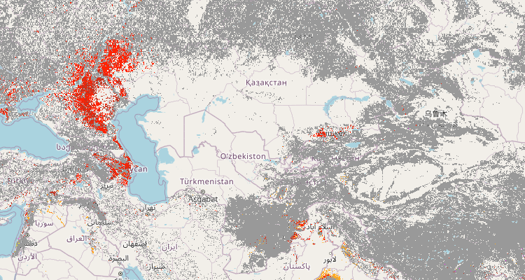
The Central Asia Climate Information Portal (CACIP) contains all snow monitoring data in Kazakhstan for 2023 in the rubric “Geoportal.”
The Geoportal has both daily maps of the current border of the snow cover of Kazakhstan and the final map for 2023.
“It is known that the water supply in the snow cover determines the spring moistening of the soil in the pre-sowing period, and an insufficient amount of snow causes droughts. A number of studies have shown the possibility of predicting droughts based on the height and snow limit in the spring. Scientific studies have found that severe droughts are observed after the early melting of the snow cover. On the contrary, there was no drought after a late snow melting (the boundaries of the snow cover south of the usual); the late melting of the snow cover causes a sufficient amount of precipitation in the spring-summer period,” Azamat Kauazov, head of the Department of Meteorology and Hydrology of the Al-Farabi Kazakh National University, explains the importance of maps and layers of snow cover in Kazakhstan.
Overall, snow cover monitoring in Kazakhstan qualitatively assesses the likelihood of droughts and indirectly predicts yields and monitors climate change since snow cover is a sensitive indicator of climate change while being a crucial component of climate.
The analysis of snowmelt dynamics throughout Kazakhstan was based on NASA remote sensing data (worldview.earthdata.nasa.gov) in the form of MODIS Terra/Aqua satellite images and snow cover area (SCA) based on the normalized differentiated NDSI snow index. Snow monitoring covered the period from 1 February to 30 April. An RGB colour palette was applied to identify the daily shots, and each day was assigned a specific colour.
Today, CACIP provides information on monitoring snowmelt in a mode close to real-time (with a delay of 1-2 days). Such efficiency of information will help farmers plan agricultural work and the services of the Ministry of Emergency Situations to receive timely information about possible floods and other emergencies based on an assessment of the snowmelt dynamics. Note that the maps are available in GeoTiff format. They are geo-referenced and can be downloaded as separate layers.
“The analysis of snowmelt throughout Kazakhstan in 2023 demonstrates standard timing snowmelt lasted from the first pentad (five-day) of February to the second decade of April. Snowmelt on the territory of the republic occurs in the latitudinal direction, moving from south to north. The earliest snow melted in the southern regions. The latest snow melt is observed in the mountainous regions, east and southeast of Kazakhstan. On the territory of the grain-sowing part of Northern Kazakhstan, snow subsidence was observed from the fifth pentad of March to the second pentad of April according to long-term norms. The average rate of snow melt indirectly indicates that the moisture reserves in the soil are close to the average long-term ones, which reduces the likelihood of spring and early summer drought. Let us remind you that early and rapid snow melting poses a threat since the soil does not have time to absorb all the meltwater causing floods and a small supply of moisture in the soil,” Azamat Kauazov comments on the data presented at CACIP.
Snow monitoring data in Kazakhstan are publicly available to everyone. Explore and apply data at any time