National Uzbekistan will host mass events for youth dedicated to World Wildlife Day Read More » February 27, 2024
Global News The 6th session of the UN Environment Assembly began in Nairobi Read More » February 27, 2024
Workshop on transboundary cooperation in Central Asia – Development of a Transformative Project “The Peace Forest Initiative” Tashkent, Uzbekistan Read More » February 23, 2024
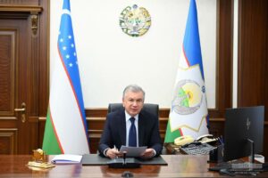
Uncategorized President Shavkat Mirziyoyev was briefed on the report on the work being done and future plans in the field of ecology and environmental protection Read More » February 21, 2024
National Preservation of unique tugai jungle in the “Tigrovaya Balka” Nature Reserve in Tajikistan Read More » February 21, 2024
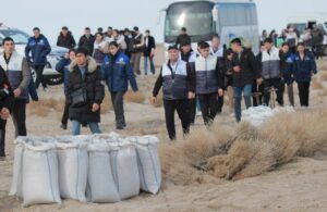
Regional News The planting of desert plants has begun on the dried-up bottom of the Aral Sea Read More » February 20, 2024
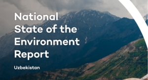
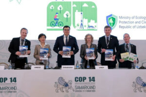
National The National Report on the State of the Environment in Uzbekistan was presented in Samarkand Read More » February 19, 2024