Agriculture Water Productivity Mapping for Central-Asia (AWP-CA) is the Google Earth Engine supported on-the fly web mapping tool by harvesting open access data and also calculating derived indices and products for the given period. Tool display data and relative production variability across the region or zoom to specific country. The framework of AWP can be …

Earth Map
Earth Map is an innovative, free and open-source tool developed by the FAO. It was created to support countries, research institutes, farmers and members of the genral public with internet access to monitor their land in an easy, integrated and multi- temporal manner. It provides satellite imagery and global datasets on climate, vegetation, fires, biodiversity, …
Ecology Data Portal of the Republic of Uzbekistan
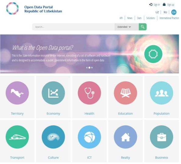
This tool presents various data in the field of health of the Republic of Uzbekistan. Here You can find such data as a list of hospitals, clinics, pharmacies, health resorts, as well as the register of licenses for medical activities, the register of licenses for pharmaceutical activities in the Republic of Uzbekistan. Source: http://data.gov.uz/
Global Information and Early Warning System on Food and Agriculture (GIEWS)
Global Information and Early Warning System on Food and Agriculture (GIEWS) monitors the condition of major foodcrops to assess production prospects. GIEWS utilizes remote sensing data that can provide a valuable insight on water availability and vegetation health during the cropping seasons. It provide maps and graphs at country level, depicting the latest 36-month period …
Global Information and Early Warning System on Food and Agriculture (GIEWS) Read More »
Sustainable Land Management Tajikistan
Sustainable Land Management Tajikistan (SLMTJ) is a knowledge platform on Sustainable Land Management in Tajikistan. The SLMTJ Knowledge Platform will provide access to the knowledge materials and aims to strengthen the collection, sharing and dissemination of best practices and methodologies on SLM among different stakeholders. Source: https://slmtj.net/
NSIDC World Glacier Inventory
The World Glacier Inventory (WGI) contains information for over 130,000 glaciers. Inventory parameters include geographic location, area, length, orientation, elevation, and classification. The WGI is based primarily on aerial photographs and maps with most glaciers having one data entry only. Hence, the data set can be viewed as a snapshot of the glacier distribution in …
Atmospheric Infrared Sounder (AIRS)
Data provider: Goddard Earth Sciences Data and Information Services Center (GES DISC)
SRTM 90m DEM Version 4-srtm_54_03.zip
Product: SRTM 90m DEM Version 4 Data File Name: srtm_54_03.zip Mask File Name: srtm_mk_54_03.zip Latitude Min: 45 N Max: 50 N Longitude Min: 85 E Max: 90 E Center Point Lat: 47.5 N Long: 87.5 E
SRTM 90m DEM Version 4-srtm_53_03.zip
Product: SRTM 90m DEM Version 4 Data File Name: srtm_53_03.zip Mask File Name: srtm_mk_53_03.zip Latitude Min: 45 N Max: 50 N Longitude Min: 80 E Max: 85 E Center Point Lat: 47.5 N Long: 82.5 E
SRTM 90m DEM Version 4-srtm_53_02.zip
Product: SRTM 90m DEM Version 4 Data File Name: srtm_53_02.zip Mask File Name: srtm_mk_53_02.zip Latitude Min: 50 N Max: 55 N Longitude Min: 80 E Max: 85 E Center Point Lat: 52.5 N Long: 82.5 E