

Satellite data will be used to monitor land, natural resources and risks, as well as pollution control.
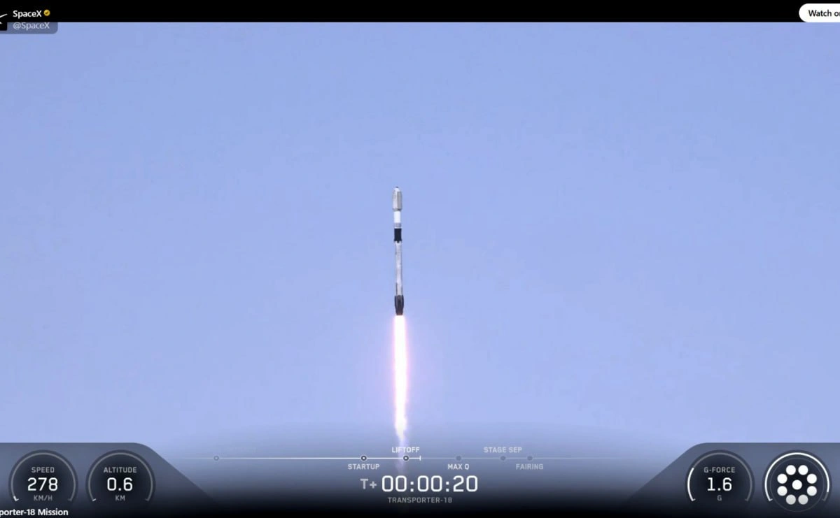
Kyrgyzstan’s first national satellite was launched into orbit on October 1 from Vandenberg Air Force Base in California. The launch took place aboard a SpaceX Falcon 9 rocket, the press service of the Kyrgyz president reported .
The satellite was launched into orbit as part of a group of spacecraft launched by a single launch vehicle. Its launch was a joint effort between Kyrgyzstan and the United Arab Emirates. The satellite will be controlled from the Mission Control Center in Bishkek.
The resulting data will be used to monitor agricultural lands, glaciers, water bodies, forests, and pastures, as well as changes in natural ecosystems. Furthermore, satellite information will help identify illegal mining, unauthorized dumps, and other sources of pollution, as well as optimize logistics routes.

Photo: Press Service of the President of Kyrgyzstan
A separate area is monitoring natural risks. This data will help identify signs of droughts, floods, landslides, mudflows, and forest fires, enabling faster response and mitigation of potential damage.
In the future, satellite data is planned to be integrated with government digital systems and used to create spatial maps and analytical models. This will allow the data to be used in government decision-making, investment planning, and monitoring the implementation of government programs.
“The use of satellite data combined with the capabilities of supercomputer technologies will create the basis for more accurate and effective management of Kyrgyzstan’s economic and natural resources,” the statement said.
https://www.spot.uz/ru/2026/10/02/satellite-kg/