


Wetlands are natural filters and climate regulators. They retain moisture, mitigate drought, and provide a home for thousands of migratory birds. But in the context of the Aral Sea crisis, these areas are the first to be hit by land degradation.
How can you tell if the soil is starting to “hurt” before it’s noticeable to the naked eye? The answer is digital monitoring.
Technology instead of guesswork
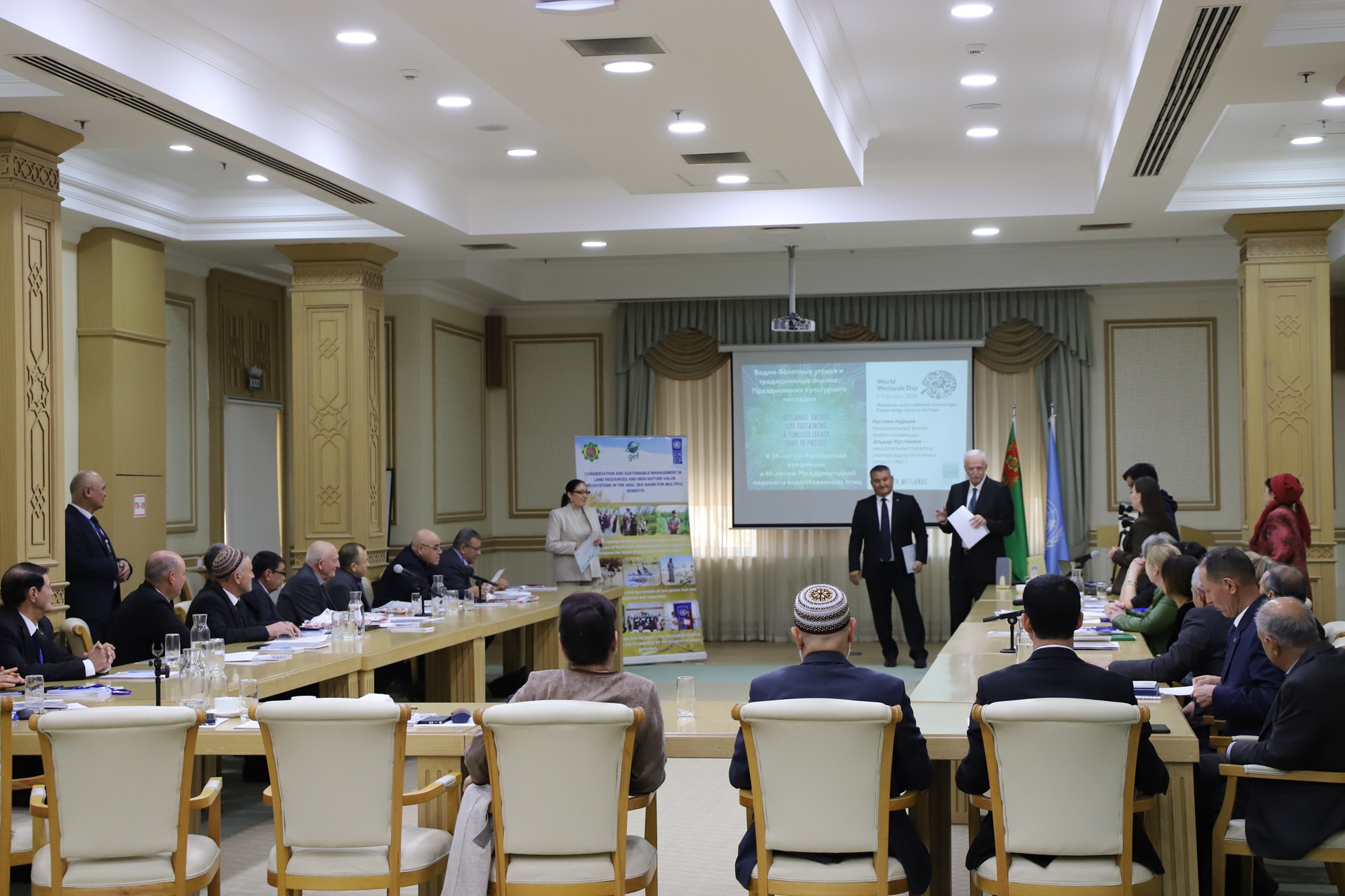
The roundtable discussed the transition to scientifically based surveillance systems. What practical benefits does this provide?
Space monitoring : Satellites and sensors make it possible to see water levels and soil conditions in real time, even in the most inaccessible protected areas.
Land degradation neutrality (LDN): This is a modern environmental standard: we should return to nature as many resources as we use, so that the overall balance remains zero.
Electronic herbaria and databases : Turkmenistan is expanding the monitoring of Important Bird Areas (IBAs), creating a digital foundation for future generations of scientists.
Direct speech
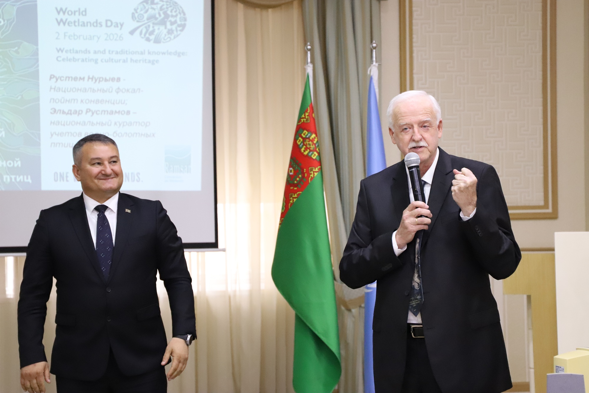
“We don’t just protect territories; we bring them into compliance with international biodiversity standards. Strengthening nature reserves and collecting scientific data under the Ramsar Convention is our contribution to global environmental security,” emphasized Rustem Nuryev, National Coordinator of the Ramsar Convention.
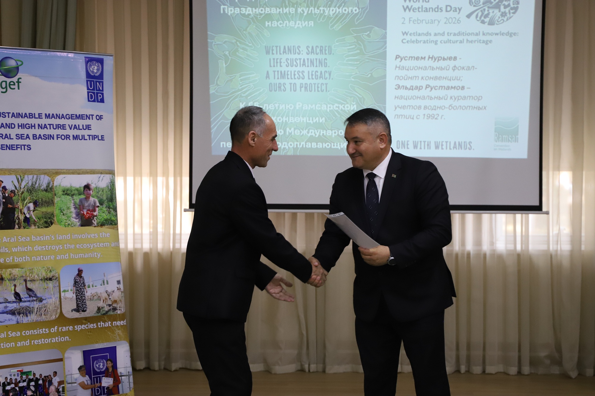
Healthy wetlands are more than just home to birds and rare plants. They also ensure food security and climate resilience for all residents of the region. Today, in Ashgabat, environmentalists, scientists, and IT professionals have united to ensure these “oases of life” have a secure digital future.
Google machine translated