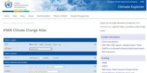
Climate Impacts Online
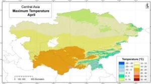
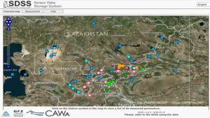
Welcome to the Central Asian part of ClimateImpactsOnline! The integrated webpage for Kazakhstan, Kyrgyzstan, Tajikistan, Turkmenistan, and Uzbekistan, provides data visualization for the climate and agriculture sectors, supplemented with additional information texts and diagrams. These are displayable in the languages English and Russian. The visualized data includes historic simulations, observations,