
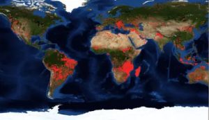
Fire and thermal anomalies in Central Asia
The map shows active fires and thermal anomalies calculated with VIIRS or MODIS data.
Source: NASA Worldview
The map shows active fires and thermal anomalies calculated with VIIRS or MODIS data.
Source: NASA Worldview
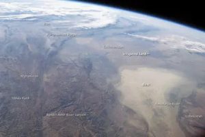
The tool shows the dust diffusion and its dynamics from different perspectives (with data derived from different sensors and different time stamp).
Source: NASA Worldview
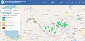
Interactive map that provides observations of the state of atmospheric air on the territory of the Republic of Uzbekistan conducted in 25 cities at 63 stationary pollution observation points (POP). Observations are made daily with a frequency of 3 times a day (7:00; 13:00; 19:00 local time).
Source: UzHydromet
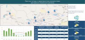
The CACIP Weather Forecasts and Climate Characteristics tool displays weather forecasts from the National Hydrometeorological Organizations. The tool also allows to review and analyze monthly long term averages for minimum and maximum temperature parameters, precipitation and number of rainy days.
Source: https://public.wmo.int/
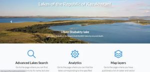
The web application E-Lake was developed by the Institute of Geography of the Republic of Kazakhstan. The information is presented in the form of interactive layers of maps, tables, and graphs. At the moment, the Atlas of Lakes contains information about location and general characteristics of 2328 lakes in Kazakhstan with area more than 1 km2. The web- resource is developed for decision-makers in the field of water management, for the scientific and educational community, and for all who want to learn more about lakes.
Source: elake.kagis/
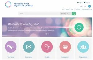
This tool presents various data in the field of environmental protection relevant to the territory of the Republic of Uzbekistan. Here You can find data on institutions responsible for the protection of the environment, the indicators of their activities, statistics in the field, data on the red book of the Republic of Uzbekistan.
Source: http://data.gov.uz/
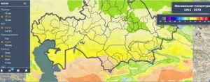
Climate Change Portal developed by the Institute of Geography of Kazakhstan. The Institute’s research is focused on solving environmental problems and assessing the natural resource potential of Kazakhstan’s geosystems with the development of the geographical foundations of rational nature management. The portal collects historical analysis about temperature, precipitation, evapotranspiration and agro-climatic indicators (aridity index, standardized precipitation, …)
Source: https://geoportal.ingeo.kz/
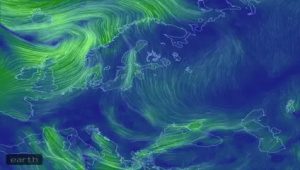
Earth Wind is an interactive map that shows up-to-date currents across the globe. The website uses numerical data from various weather bodies and recreates them on an interactive globe. The data is updated every three hours and shows the winds as tendrils snaking over the land and sea. The result is a visually astonishing globe that also provides wind data on any location with the click of a button.
Source: https://earth.nullschool.net/

The Agricultural Research e-Seeker (AReS) is a tool to discover, explore, and retrieve content from information and data repositories linked to CGIAR and its partners. It is designed to help make CGIAR knowledge findable, accessible, inter-operable and re-usable.
Source: http://cgspace.cgiar.org/

Google Earth is a computer program that renders a 3D representation of Earth based primarily on satellite imagery. The program maps the Earth by superimposing satellite images, aerial photography, and GIS data onto a 3D globe, allowing users to see cities and landscapes from various angle.
Source: https://www.google.com/earth/