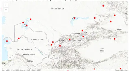
G-REALM provides time-series of water level variations for some of the world’s largest lakes and reservoirs. Currently, lakes ≥ 100km2 are included but future project phases will aim to include those in the 50-100km2 size range.
USDA/FAS/OGA